New Zealand weather searches rose as MetService outlined a front affecting parts of the South Island and central regions around Labour Day. The useful response is to check the forecast for the place and time that matter to you, then understand what an outlook, watch or warning actually says. This guide explains that system and offers practical preparation steps drawn from New Zealand’s National Emergency Management Agency.
Research checked 25 October 2026. MetService’s published outlook, issued at 10:44 a.m. on Saturday 24 October, described possible heavy rain and severe northwest gales for parts of the South Island and central New Zealand on Monday 26 and Tuesday 27 October. The outlook expressed different confidence levels by area. At the time of research, MetService’s live alerts page displayed no warnings in place nationally, while the outlook page used wording that referenced warnings and watches. Because these official pages did not align clearly on current status, this article does not claim that any particular warning is active. Recheck the live location-specific alerts before acting or travelling.
First, find the right alert for your place
Weather information is useful only when its area and time match your plans. “Rain in the west” may describe a broad region, while a warning can name particular districts, ranges, roads or a period measured in hours. A person driving over a mountain pass and a person staying in a city may face different conditions during the same front.
Start at the [MetService warnings page](https://www.metservice.com/warnings/home). Select your town or region and read the full text, including the period of validity, expected hazard and any confidence or update language. Then compare it with the local forecast, not merely a screenshot or headline. MetService says forecasts and warnings can change at any time.
Record four details before you make a plan:
- The exact place named, including whether nearby high ground or coast is included.
- The start and end time of the forecast period.
- The hazard, such as heavy rain, strong wind, snow or thunderstorms.
- The latest issue time and any stated uncertainty or chance of an upgrade.
This simple check prevents an old post from being treated as current. It also helps when a warning changes: compare the new issue time and area with the previous update rather than assuming that a colour or headline tells the whole story.
Outlook, watch and warning mean different things
MetService describes the severe weather outlook as an early heads-up, commonly covering conditions several days ahead. At that distance, forecasters may see a possibility of warning-level rain, snow or wind while the precise impact area remains uncertain. An outlook can identify regions and assign confidence levels; it is not a guarantee that every place in a shaded area will experience the hazard.
A yellow watch signals that severe weather is becoming more likely, but some uncertainty remains about whether warning criteria will be met or exactly where impacts will fall. Watches can include timing, location and a stated chance of upgrade. Read those details instead of treating yellow as a miniature warning.
Orange and red warnings signal expected impacts at a higher level. MetService describes orange events as significant, with action needed to reduce disruption or risk. Red is reserved for events expected to be among the most severe, with the potential for substantial effects across many people. A red symbol is not a national alert unless the listed area includes the place you are checking.
Thunderstorms follow a faster process. MetService notes they can form quickly and are less predictable than broad rain or wind systems. A thunderstorm outlook may provide an earlier heads-up, while a severe thunderstorm warning can be issued after radar observations identify a storm and give short-term information about its movement. For that reason, checking again near the time of an outdoor plan can matter.
MetService publishes criteria for some warning types. For example, its severe-weather criteria page describes widespread rainfall thresholds of more than 50 millimetres in six hours or 100 millimetres in 24 hours. Snow criteria vary by region and elevation, with specified depths and time periods. These are operational criteria for issuing warnings; they are not a promise that rainfall below the threshold is harmless. Local drains, saturated ground, steep slopes and waterways can create serious problems at smaller totals in a particular place. Use the alert and local instructions, rather than treating one number as a personal safety boundary. [MetService warning criteria](https://www.metservice.com/warnings/home).
What the Labour Day outlook did and did not say
In its 24 October outlook, MetService described a front moving onto the South Island from the Tasman Sea on Monday 26 October, preceded by northwest gales. The outlook named different areas for possible severe wind and heavy rain and used high, moderate and low confidence descriptions. It also described a weakening front moving north on Tuesday 27 October.
These are forecast statements with a publication time. They should not be rewritten as a report that severe weather has already happened. Nor should a forecast for a mountain range automatically be applied to every nearby town. For travel, find the precise road, district and time window in the latest local forecast and road authority updates.
The difference between “high confidence that a warning will be required” and “a warning is active for my address” is important. The first describes confidence in an outlook; the second requires the current warning details to name the relevant area and period. Since the live warnings page and outlook wording were not fully consistent during this research check, the safest factual description is the outlook itself, with an explicit instruction to verify current status directly.
Prepare before the weather arrives
The National Emergency Management Agency recommends making and practising a household emergency plan, preparing a grab bag and keeping emergency supplies. It also suggests listing outdoor items that should be brought inside or tied down when strong winds are forecast. A written list can help people remember the less obvious objects that might be lifted or damaged.
For a household, preparation can be modest and specific. Check that phones can be charged, know how to receive official updates, and agree where household members will reconnect if normal routines are interrupted. Keep essential medicines and a short list of important contacts where they can be reached. If a person in the household relies on powered medical equipment, follow their provider’s contingency advice rather than improvising during an outage.
Look outside for loose furniture, lightweight planters, trampolines, shade cloth, tools and temporary decorations. Secure or store items before wind becomes strong; do not wait until conditions make it unsafe to go outdoors. Check gutters and drains if it is safe to do so. Do not climb onto a roof during a storm.
For a thunderstorm, NEMA advises identifying a safe indoor location away from windows, skylights and glass doors, which can break in strong wind or hail. A household that includes young children can agree on the location in advance and practise moving there. This is a readiness step, not an indication that a thunderstorm is expected at a particular address.
Rain, rivers and flooding need local judgment
Heavy-rain impacts depend on where the rain falls, how long it lasts and how quickly local waterways respond. A regional rainfall forecast cannot tell a reader the water level at a specific crossing. Use local council or emergency-management updates for known flood-prone areas and heed closure notices.
NEMA’s storm guidance is direct: if water is rising around you, do not wait for an official warning before moving to higher ground. Never walk, play, swim or drive in floodwater. Flowing water can hide washed-out surfaces, debris and changes in depth. A road that appears passable from a vehicle may not be safe to cross.
If you live near a stream, coast or steep slope, know which route takes you away from the hazard and where local authorities publish evacuation instructions. Do not choose an evacuation route based on a generic map if a local authority has issued a different instruction. Local emergency managers have information about their area and will communicate when evacuation is required.
For livestock owners, NEMA recommends identifying safe paddocks away from floodwater, landslides and power lines. Make that decision before bad weather, while access is still safe. Keep gates and transport arrangements in mind, and follow local advice on animal movement.
Wind, travel and outdoor plans
Strong winds can turn unsecured items into hazards and disrupt travel. Before leaving, check the forecast for both the departure point and the destination, and consider whether the route crosses exposed bridges, ridges or high country. A forecast for one city does not necessarily describe conditions on an exposed road between cities.
If the trip is optional and the forecast indicates significant risk, delaying can be a sensible choice. If you must travel, allow time to check official road status, tell someone your route and expected arrival, and carry what you need for an unexpected delay. Do not use a forecasted road condition from yesterday as a substitute for a current closure notice.
For outdoor events, identify a sheltered indoor option and a clear cancellation point. If thunder is nearby or a severe thunderstorm warning applies, follow the warning and move indoors. NEMA advises postponing outdoor activities when a storm is imminent. Do not stand beneath isolated trees or near exposed structures during lightning or damaging wind.
After the front passes, check for downed power lines, unstable branches, damaged roofs and local closures. Keep clear of fallen lines and report them through the appropriate utility or emergency channel. Follow local emergency-management and emergency-services instructions during recovery; a warning ending does not mean every hazard has disappeared.
A short household checklist
Before a forecast period, use this sequence:
1. Check the live MetService warning for your actual location and the latest issue time.
2. Read whether the information is an outlook, watch or warning, and note the valid period.
3. Follow local Civil Defence or emergency-service advice for evacuation and area-specific hazards.
4. Secure outdoor items and prepare a household plan while it is safe to do so.
5. Recheck the forecast before travel or outdoor activity, especially if conditions may change quickly.
6. If floodwater is rising, move to higher ground; never enter floodwater by foot or vehicle.
This list is a prompt, not a substitute for official directions. A local evacuation instruction or road closure takes priority over a general preparation article.
Keep the source page open when passing an alert to another person. A copied message can lose the place name, issue time or link needed to check whether it still applies. Sharing the official page alongside a short summary makes it easier for family members or travel companions to confirm the same current information.
If a warning page does not load, avoid relying on an old screenshot or a forwarded message without its issue time. Try the official source again when connectivity returns and use local emergency channels or radio for urgent updates. A neighbour’s report can help you know what to check, but it cannot confirm that an alert covers your own road or property.
Conclusion: let the latest local advice guide the next step
MetService’s alert system separates an early outlook from a watch and a warning because certainty, timing and expected impact develop as a weather system approaches. The current location, valid period and latest issue time matter as much as the colour or headline.
For the Labour Day period, MetService’s 24 October outlook described possible heavy rain and severe northwest gales across named areas on 26 and 27 October. During research, the outlook and live alert page did not give a clear matching picture of current warning status. That is a reason to open the live location-specific page again, not to guess which status applies. Prepare calmly, follow local instructions and update plans when the official forecast changes.
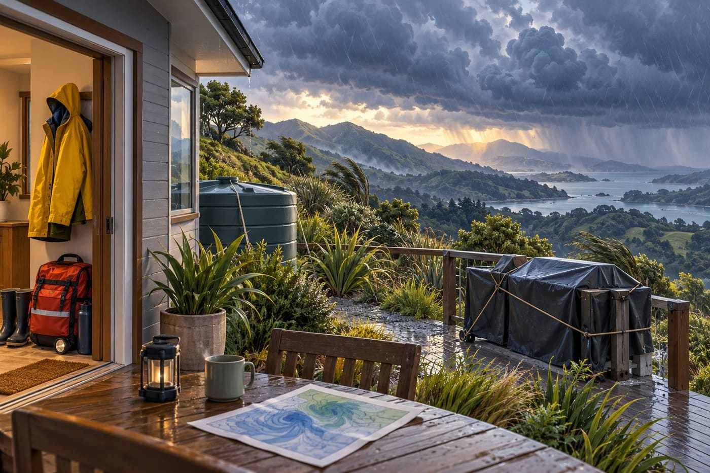
Research date: 25 October 2026. The weather details above are from a dated MetService outlook and may change. No active warning is asserted for a reader’s location. This is an AI-assisted guide based on linked official guidance; the illustration is original and conceptual, not a forecast map or photograph of an actual storm. Limited phrase searches are not a comprehensive plagiarism review.