If water is rising around you, move to higher ground and follow emergency instructions. Do not enter floodwater or drive around a barricade. Call 911 for immediate danger.
This is a guide to checking flood information, not an all-clear for a road or property. The Four Corners region crosses several jurisdictions, and a warning for one river reach cannot answer every resident’s question. Use current National Weather Service alerts and local emergency instructions for your exact location.
Dated regional context
At this refresh on 26 October 2026, Asia/Dhaka, the NWS alert page carried a Grand Junction statement issued at 2:07 p.m. MDT on Sunday 25 October. It continued the San Juan River warning between Four Corners and Mexican Hat until 6 a.m. MDT Tuesday, covering western Montezuma County, Colorado, and southern San Juan County, Utah. The statement described catastrophic flooding as an emergency situation.
This is a timestamped example, not a complete inventory of current warnings. Its end time can be changed by a later statement. Reopen the official alert before acting; do not use a saved copy of this article as a substitute for an evacuation order or a current road notice.
First, distinguish a watch from a warning
The National Weather Service uses different alert terms to communicate different levels of urgency:
- Flood watch — be prepared. Conditions are favorable for flooding, but it is not certain that flooding will occur. Review your plan, monitor updates and be ready to act.
- Flood warning — take action. Flooding is imminent or occurring in the warned area. Follow local instructions and move away from danger.
- Flash flood warning — act immediately. Rapid, dangerous flooding is imminent or happening. If you are in a flood-prone area, move to higher ground at once.
- Flood advisory — be aware. Nuisance or less severe flooding may still create dangerous conditions if you ignore it or enter floodwater.
Read the full alert rather than relying on a map color or social-media caption. Look for the issuing office, the places named, the hazard, the start and end times, and any instructions. Alerts may use county names, river reaches, roads or small communities; a broad “Four Corners” headline does not tell you whether a particular road or home is within the warned area.
How to verify the alert for your address
Use the official [National Weather Service](https://www.weather.gov/) forecast and alert page for your location. Enter a town or ZIP code, then open the full warning text. If you are near a county or state boundary, check both the local forecast office and the nearby jurisdiction: the San Juan River alerts in this event involve more than one state and more than one NWS office.
Then check the emergency-management authority responsible for your location, including the relevant tribal authority where applicable. Transportation notices answer a different question from weather alerts: whether a particular route is closed or restricted. Neither should be substituted for the other.
Official state travel-information services include [COtrip](https://www.cotrip.org/), [UDOT Traffic](https://www.udottraffic.utah.gov/) and [NMRoads](https://www.nmroads.com/). Their interactive maps require a functioning browser; a blank or loading-only page is not evidence that roads are clear. This review did not establish the current status of every road shown on those services.
The safest response to a flooded road
Do not drive through floodwater, walk through it or move a barricade to get around it. The water may be deeper or faster than it appears, and the road surface beneath it may have washed away. Do not try to judge a safe depth from the roadside.
Use this simple response:
1. Stop before the water. Do not enter a flooded crossing, even if another vehicle has just gone through.
2. Turn around and choose a safe alternate route. Do not drive around a road closure, through a ditch or onto an unmarked shoulder.
3. Move away from riverbanks and drainage channels. Fast water and unstable banks can remain dangerous after rain eases.
4. Follow evacuation instructions. If officials tell your neighborhood to leave, go promptly by the designated route.
5. Call 911 if someone is in immediate danger. Do not enter the water to attempt a rescue; tell responders the person’s location.
At night, it can be harder to see water across a road or notice debris and a missing section of pavement. If a route looks wet or is marked closed, do not assume the water is shallow because you cannot see a current. Keep children away from culverts, storm drains and river edges.
Why river conditions can stay dangerous after rain
The NWS notes that flash flooding can occur where rain is not falling at that moment. Clear skies over a campsite or road therefore do not cancel an official warning. The hazard described in an alert may relate to water arriving from elsewhere, not just the weather immediately above you.
A missing gauge reading is also not a safe reading. “No observation available” and “water below flood stage” are different statements. If a data panel is unavailable, keep following the warning and emergency instructions rather than filling the gap with an assumption.
A fictional example of two apparently conflicting notices
Imagine a town announces that one named street has reopened, while a river warning remains in effect for a wider area. Those notices can both be accurate. The first concerns a particular access decision; the second concerns a hazard over a geographic area. It would be a mistake to shorten the town notice to “the flooding is over”.
Now imagine a navigation app draws a route through another crossing nearby. That line does not prove the crossing was included in the reopening notice. Check the road name and the authority’s instructions. If there is a barricade, do not go around it because an app appears to disagree.
These are invented examples, not reports of specific reopenings in this event. They illustrate why precise place names matter. A statement about one bridge, neighbourhood or stretch of river should not be expanded to cover a different place without confirmation.
What to do if you live in or are visiting the area
CDC preparedness guidance recommends household communication and evacuation planning, including assistance for people with particular needs. If you are in a warned area, keep your phone charged and enable local emergency notifications. Listen for messages from your county, town, tribal authority or emergency-management office. If you have a battery radio, keep it accessible. Put essential medication, keys, important documents and basic supplies where you can reach them, but do not delay leaving to pack if an evacuation order is active.
If officials have not ordered you to evacuate but your home or campsite is near a river, low crossing or drainage channel, identify a safe route to higher ground and a meeting point. Let someone outside the immediate area know how to reach you. If you are camping, move away from low riverbanks before water rises; do not wait for a visible surge.
For a household with mobility, medical or communication needs, plan who will help and how you will receive alerts if power or mobile service fails. Check on neighbors if it is safe to do so, but do not enter floodwater or a closed area to assist. Emergency crews need clear access to perform rescues.
Keep evacuation and return instructions separate
An order to leave and a notice allowing return answer different questions at different times. Keep the original wording and the named area visible when sharing either. Do not tell someone to return because a neighbouring area has received different instructions.
For electrical hazards, NWS guidance is direct: stay out of rooms where water covers outlets or cords, and keep away from water that may be electrically energised. Follow local utility and emergency guidance. Do not enter a flooded area to operate a switch or inspect equipment.
A practical checklist for checking updates
### A quick way to judge an old alert
An alert screenshot is useful only if you can identify who issued it and when. Find the original National Weather Service product, compare its issue time with the latest product for the same river reach, and check whether it was extended, replaced or cancelled. Pay attention to the warning’s geographic description: “San Juan River between Four Corners and Mexican Hat” is not interchangeable with every town or road in the wider region. A county may contain both affected and unaffected routes, and a river warning can remain active after a particular evacuation order is lifted.
For a trip, check the route in segments rather than searching only for the destination. Confirm the departure road, bridges and low crossings, then look for transportation-agency closures and local emergency notices at the destination. If an official source is temporarily unavailable, do not treat that gap as evidence that the hazard ended. Delay nonessential travel or contact local authorities for reliable instructions. Avoid reposting a cropped map without its timestamp and link: a well-intentioned share can send a neighbor toward a closure that has changed, or falsely reassure someone who lives outside the map’s shaded boundary but beside a threatened river.
Keep the alert page accessible before mobile service becomes unreliable. A charged phone, downloaded local map and written contact details can help, but an offline map cannot show a new closure. Use it only as a backup for navigation after officials say a route is open. If you receive an evacuation notice while driving, follow the designated route and do not stop to photograph water or road damage.
When a flood story is moving quickly, use this sequence rather than forwarding an old alert:
- Check the alert’s timestamp and issuing office.
- Match the warning to your town, county, river reach and road—not just a nearby city.
- Read the full text for the hazard, expiry time and requested action.
- Refresh local emergency-management and transportation updates.
- Treat old screenshots, traffic posts and map pins as leads, not final clearance.
- Recheck after conditions or travel plans change.
An official alert can be extended, narrowed or replaced. A town may lift an evacuation order while a river warning remains active elsewhere. A highway can reopen with restrictions while local flooding continues. Those statements are not necessarily contradictory; they may refer to different places and hazards.
Make a useful information note before a connection fails
A short note can help a household keep track of instructions without pretending to be a live alert service. Write the issuing authority, the issue time, the named area and the requested action. Add the original source address so another person can refresh it. Leave space for a later update rather than overwriting the earlier instruction without a record.
For example, a note might say “county emergency office, notice checked at [time], applies to [named area], follow [official route or instruction]”. The brackets are prompts for verified information, not blanks to fill with a guess. If the notice does not specify a route, do not invent one from a map.
Someone helping from outside the area can use the same structure. Ask for the location only to the precision needed to identify the responsible authority, and avoid publishing a household’s whereabouts in a public group. Relay the source and instruction, not an improvised assessment of whether a person should risk travelling.
If two updates seem inconsistent, compare their issue times and geographic scope first. An older notice may have been superseded; alternatively, both may apply to different places. Do not resolve the disagreement by choosing whichever message is more convenient for a planned journey.
Avoid turning a photograph into route advice
A photograph can show conditions at one place and moment. It may not show the approach road, the condition of a bridge or what happened after it was taken. Even a genuine image cannot establish that the whole route is safe now. A familiar landmark can help identify location, but it does not supply the missing time or road-status information.
This is especially relevant when neighbours share images in a group chat. Keep the caption narrow: where the image was taken, when, and what is actually visible. Avoid adding “safe to cross” or “everyone can return” unless that is a current instruction from the responsible authority. Do not approach floodwater to obtain a better photograph.
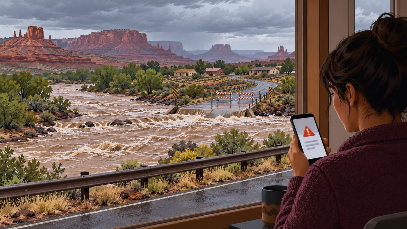
The illustration accompanying this article is conceptual and generated. It is not evidence of a particular crossing, water depth or closure. The practical links and official instructions, rather than the artwork, are what readers should use to find current information.
The key point
Check the place, time and requested action in the latest official notice. A river warning, a road closure and an evacuation instruction can overlap without being interchangeable. When water or a barricade blocks a route, do not test the crossing. Follow emergency directions and keep clear of floodwater.
### Sources and research note
Refreshed 26 October 2026, Asia/Dhaka. The regional example is the NWS Grand Junction statement issued 25 October at 2:07 p.m. MDT, as carried on the [NWS alert page](https://www.weather.gov/wwamap/wwatxtget.php?cwa=abq&wwa=all). Also checked: [NWS watch/warning definitions](https://www.weather.gov/safety/flood-watch-warning), [NWS during-flood safety](https://www.weather.gov/safety/flood-during), and [CDC flood preparedness](https://www.cdc.gov/floods/safety/index.html). State travel-service links are provided above; no complete live road inventory is claimed. The examples are fictional and the illustration is original AI-generated conceptual artwork, not a documentary flood image. Conditions and instructions can change after this publication.