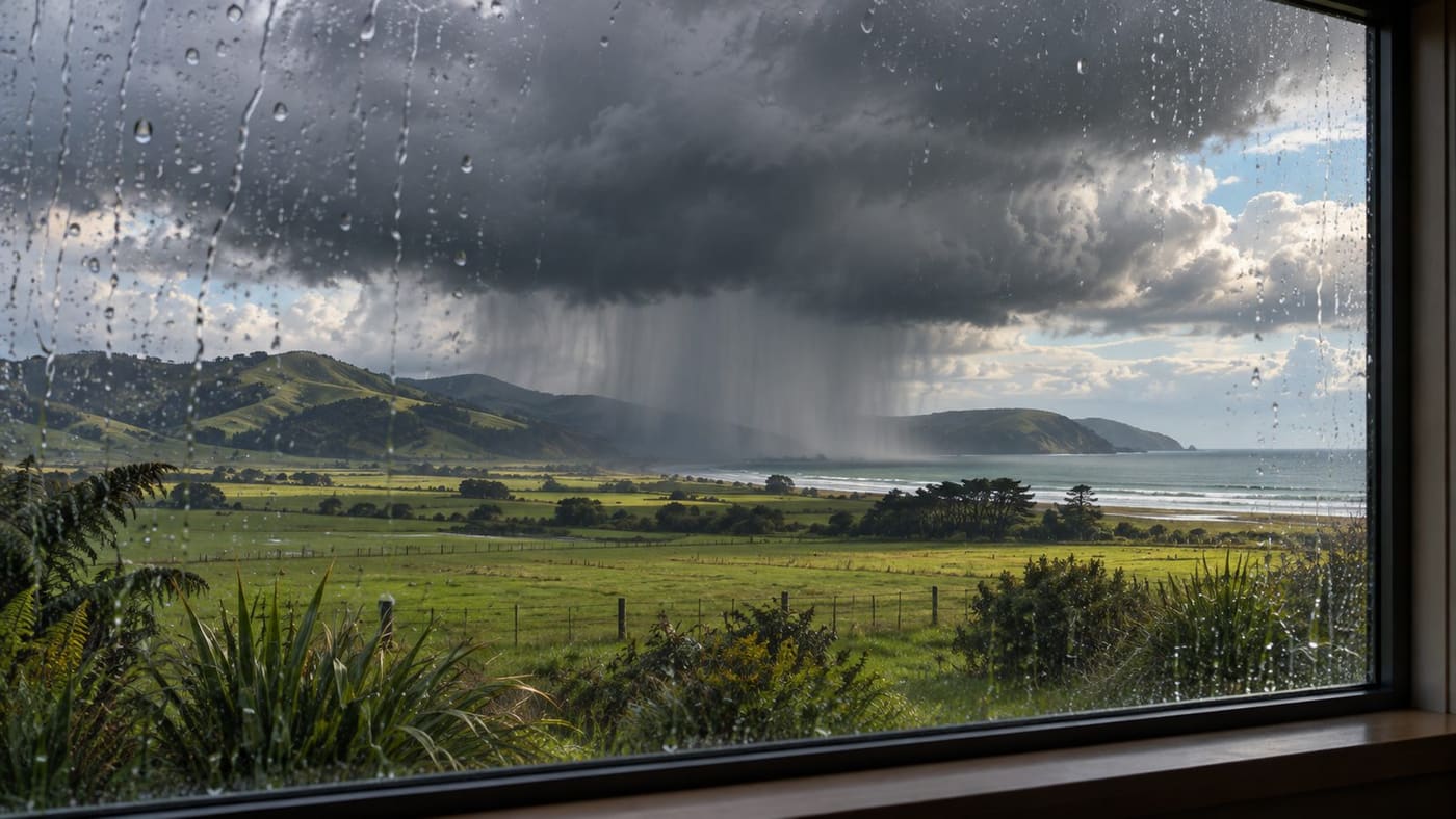
A thunderstorm alert can name a broad part of New Zealand in the morning and a much smaller area later in the day. The two messages can make sense together. MetService uses an outlook to describe the wider prospect of thunderstorms, a watch when conditions favour severe storms but details remain uncertain, and a warning for specific places in the path of an identified severe thunderstorm. Each product has its own time window. If you are deciding whether to travel, start with the alert that covers where you will be and when you will be there.
The query “metservice new zealand thunderstorm warnings” appeared fourth in a New Zealand Google Trends snapshot retrieved at 12:25 UTC on 7 November 2026. It showed 20K+ and “Lasted 4 hr” in a past-24-hours view sorted by descending search volume, with all categories and trends included. That duration belongs to the search trend. The duration of an alert comes from MetService. This guide uses a dated watch as an example and links to the official current feed for decisions.
Read the current notice before interpreting the map
Open MetService Weather Warnings & Watches, then find the product name and the affected area. Read the issued time and validity period as well as the hazard description. Some products cover a region for several hours. A storm-specific warning can focus on a smaller area and a shorter time. A notice may also be updated, extended or cancelled, so refresh the source when a decision depends on it.
There are three times worth keeping separate. The issued time tells you when the forecaster published the notice. The validity window identifies the period addressed in that notice. Your intended departure, arrival or activity time tells you which part of that window matters. An alert may have been issued hours before it takes effect, and a saved screenshot can remain in a group chat after the end of the period it describes.
Keep the exact place with the times. If you are driving between towns, the route may cross an area that neither endpoint’s town forecast makes obvious. Check the roads or stops you expect to use against the alert description. If a map and a text description are available, read both. The written notice can identify smaller locations, likely hazards and the timing of a storm’s movement.
MetService also provides an alerts overview. Treat the current website as the reference when someone forwards an image without a link. A helpful group message includes the issuer, the type of notice, the area, its time window and a link people can reopen.
Outlook, watch and warning answer different questions
The MetService severe thunderstorm guide explains the practical differences. An outlook is useful when planning ahead. It describes where thunderstorms are possible and can give a wider view of the risk. A broad shaded area on an outlook gives you a region to keep checking. It does not locate an individual storm that has yet to form.
A Severe Thunderstorm Watch describes a period and area where conditions support severe thunderstorms, with uncertainty about exactly where and when one might develop. If you have an outdoor event, a watch gives you time to identify a place to shelter, confirm how you will receive updates and decide what would trigger a change of plan. The useful response is to prepare for the possibility while continuing to follow the current forecast.
A Severe Thunderstorm Warning is more local. MetService explains that it often issues one after a severe storm has formed and can be tracked. A warning can identify the storm’s position and the areas it may reach. Read the time attached to each part of a warning map. A position shown later in the storm’s path is a forecast and can change as the notice is updated.
The MetService overview of warning categories also distinguishes thunderstorm warnings from the orange and red categories used for some other severe weather. MetService describes Severe Thunderstorm Warnings as red. Read the hazard name with the colour. A local thunderstorm alert and a widespread rain warning can refer to different processes and footprints, even if they both mention heavy rain.
A November watch shows how to read the clock
A MetService Papatoetoe forecast page displayed a Severe Thunderstorm Watch with a 12-hour window from midnight at the end of Friday, 6 November, to noon on Saturday, 7 November, in the version consulted for this guide. It referred to possible hazardous driving in heavy rain, including reduced visibility and surface flooding. The page is a live forecast and can replace that notice with newer information.
The useful detail is the full window. Someone who only reads “Friday, 6 November” could treat the watch as over before Saturday begins. Someone who only reads “Saturday, 7 November” could assume it covers the evening. Reading the start and end together shows that the example addresses the overnight period and Saturday morning. The notice is an illustration of the clock and the kind of hazards MetService names.
The local forecast is also an entry point, not a route map. A person leaving Papatoetoe for an appointment somewhere else should check both places and the way between them. A person looking back at the notice later should preserve the local time, the alert type and the date of the observation. This is more informative than reposting the original image under a caption such as “weather warning today.”
Use radar to see movement, then return to the written alert
The MetService rain radar helps show where precipitation has been detected and how it has moved through recent frames. Check the timestamp, particularly if the map has been open on a phone for a long time. Use the animation to distinguish a single frame from movement over several observations. Then go back to the warning text for the agency’s interpretation and any named impacts.
A radar image and a warning differ in scope. The image gives a measurement-based picture at a particular time. The notice can describe a storm’s expected path, areas likely to be affected and hazards that require action. Colour intensity on a rain map alone does not answer whether a particular road is passable or whether a building has experienced flooding. For those questions, check local authorities and transport information.
Conditions at your doorstep can also differ from conditions several kilometres away. A small storm can produce a sharp change along a short stretch of a journey. If the radar looks clear over the starting point but a warning covers the destination, use the destination information. If a local authority issues a road closure, follow that instruction even if the newest radar frame shows the rain moving away.
Put the alert into a travel or outdoor plan
Imagine you are meeting friends at a park at 2 p.m. and a watch covers the area from noon onward. Confirm the park’s exact location, identify a sturdy building that will be open nearby and make sure everyone knows who will decide whether to change the venue. Check the latest alert before leaving and again before the group starts. If MetService issues a warning for the area, use its instructions and take shelter. A plan made during the watch makes it easier to act when a warning arrives.
For a drive, check NZ Transport Agency’s Journey Planner for relevant state highway conditions. Local council or emergency management updates can cover local routes and other disruptions. Give yourself time to change the route or postpone the trip. The road authority and the meteorological service answer related but different questions. One reports road conditions or restrictions, while the other describes the weather and its expected effects.
For a school pickup or community activity, send a short update with one clear action and an official link. For example, give the revised pickup point and specify when you will confirm it again. A long copied forecast can obscure the practical detail people need. Preserve the source link so families can check whether the warning has been updated while they are en route.
Take shelter and follow local emergency advice
New Zealand’s Get Ready guidance on storms explains preparations and what to do during severe weather. Follow the current warning and local emergency instructions. If severe weather is approaching, bring the group into a sturdy building where possible and stay away from windows when strong winds threaten. Think about who might need help getting to shelter, including children, visitors and people with limited mobility.
Water can remain hazardous after rain eases. A person looking out from a dry building may have little information about a flooded crossing on the return route. Follow closures and avoid entering floodwater. The Get Ready guidance on floods describes why people should stay out of floodwater and how to respond to instructions from authorities. If life or safety is immediately threatened in New Zealand, call 111.
A weather alert also matters after an event moves away. Check local notices before assuming an activity can resume or a route can reopen. Reports of debris, damaged power lines or surface flooding can outlast the thunderstorm warning. If you share an update, identify whether you are relaying a current weather notice, a road condition or a direct observation from one location.
Check the detail before sharing a warning
A useful shared update might say that MetService has issued a severe thunderstorm watch for the area through a stated local time, then link to the source and explain when the group will review its plan. A later message can explicitly say that it replaces the earlier one. If the official notice names particular suburbs or roads, keep those names intact. If you are forwarding a map, include its legend and timestamp, since the same colours can mean different things on different products. Avoid using the search volume or a social media timestamp to decide whether the weather notice is still in effect.
Choose a notification setup you can check
MetService explains weather app push notifications and which alerts the app can deliver. Check your device settings and the app’s current options before relying on push notifications. If you regularly travel outside your home area, check alerts for the destination as well. A phone that is out of coverage or set to silence alerts can miss an update. A direct visit to the warning page before leaving is a simple additional check.
For groups, agree on one source for the latest decision. In a club chat, one person might monitor MetService while another checks the venue or route. If the alert changes, send the revised time and place and say what the group should do. This division of work helps when messages arrive out of order or a member is looking at an old screenshot.
Readers familiar with Australia can compare the approach with our Australian severe thunderstorm warning guide. Use the New Zealand issuer’s language for a New Zealand notice. Terms that look familiar can sit within a different system of maps, hazard thresholds or notification choices.
What to keep when the alert changes
Before making a decision, write down the area, the hazard, the type of notice and the time it applies. If there is a warning map, identify the current storm position and any forecast positions separately. Then pair the warning with whatever other information your decision needs, such as a road closure, school message or venue update. The most useful note is usually short enough to read at a glance.
The biggest gain comes from opening the current alert before acting on an older message. The dated watch above shows why time matters. The radar shows why location matters. The written warning brings those two together and gives the forecaster’s account of the hazard. Use all three to answer the question in front of you, and rely on local instructions when they address your route or safety directly.
Sources consulted 7 November 2026. The November watch is a historical example from a live page. Check MetService for current alerts. The image is an original conceptual illustration of a storm and does not depict the cited watch.