The Waal can appear in a travel plan, a shipping update or a water-level chart, but those contexts ask different questions. A visitor wants to know whether a riverside route is accessible. A transport operator needs current navigational information. A reader looking at a graph needs to know what the number measures before deciding what it means.
This guide explains how to approach those questions using Dutch public information. It is background for reading the river's geography and official information services, rather than a report of a current flood, closure or shipping restriction. The reason for the October 28, 2026, rise in searches for the broad term “waal” has not been established. The river is the specific, verifiable subject covered here.
The most useful starting distinction is between a measurement, an expectation and an instruction. A measurement describes an observation at a particular place and time. An expectation concerns a later period. An instruction tells users what action is required or what access is restricted. Finding one does not automatically supply the other two.
Where the Waal fits into the river network
Rijkswaterstaat describes the Waal as the largest branch of the Rhine. Its official waterway page follows it from the Rhine near Pannerden, through Nijmegen, Tiel and Zaltbommel, to the Merwede near Woudrichem. The page lists a length of 85 kilometres and identifies it as a heavily used shipping river.
Use the official overview for geographical orientation and links into the waterway's services: https://www.rijkswaterstaat.nl/water/vaarwegenoverzicht/waal. A geographical description gives you the outline of a journey, while the conditions for a particular route or activity require more specific information.
For example, someone planning a visit to Nijmegen and someone checking parking in Zaltbommel are interested in the same river, but they do not necessarily need the same local notice. Start with the actual destination, crossing or stretch of bank. That keeps a general search from producing a confident answer about the wrong place.
If a place name is unfamiliar, write it beside the activity you are planning. “Riverside walk near my accommodation” is still too vague to verify. A named route entrance, ferry landing or parking location gives you something to match against a municipal or operator page. Save the original Dutch name as well as any translation so you can recognise it on signs.
A water level needs its reference point
Dutch water information often uses Normaal Amsterdams Peil, abbreviated NAP. Rijkswaterstaat explains NAP as the common reference for reporting heights in the Netherlands. It allows water levels and the elevations of structures to be expressed against a shared reference rather than a different arbitrary zero at every location.
The official explanation is here: https://www.rijkswaterstaat.nl/zakelijk/open-data/normaal-amsterdams-peil. When reading a figure, retain the sign, unit and reference. A number copied without those details may look precise while no longer answering the original question.
Consider a purely fictional teaching example: a water surface is shown as 3.20 metres above a reference, while a surveyed point on a nearby surface is 4.00 metres above that same reference. The arithmetic difference is 0.80 metres. This comparison is meaningful only because the reference and units match. It is not a Waal reading, a safety margin or an instruction to enter any location.
Notice what the example does not tell you. It does not describe a current, an obstruction, the condition of an access path or the time when the measurement will change. Even correct arithmetic can answer a narrower question than a traveller assumes. Keep the calculation separate from the decision about whether an activity should proceed.
Water height, water depth and flow answer different questions
Rijkswaterstaat's explanation of low-water measures distinguishes the surface's height against NAP, water supply or discharge, and measured depth. The Waal has free outflow; its level cannot be controlled in the same way as river sections managed using weirs. During low water, reduced depth can affect how much cargo a vessel carries.
The authority also describes measurements of the Minst Gepeilde Diepte, commonly abbreviated MGD, used to inform shipping. Its explanation is available at https://www.rijkswaterstaat.nl/water/waterbeheer/droogte-en-watertekort/maatregelen-voor-de-scheepvaart. These concepts help explain why one familiar water-level number is insufficient for a complete operational picture.
A helpful analogy is a road photograph. It may show where the road is, but it cannot by itself establish the clearance beneath a bridge or the condition of every lane. Similarly, a river-level observation should not be transformed into a navigational clearance by an unqualified reader. Professional passage planning requires the relevant current information and expertise.
For a general reader, the key is to label the variable. If an article says “the river is lower,” ask whether it means a lower surface relative to a datum, less flow or less available depth at a relevant location. These ideas can be related without being interchangeable. Good wording makes the distinction visible instead of asking the reader to guess.
Find the official service that matches your question
Rijkswaterstaat's information directory separates several services. Waterinfo supplies current measurements and expectations. The daily water report provides a broader update. Vaarweginformatie carries notices for Dutch waterways, while more detailed water reporting is available through Waterberichtgeving. Its directory is a useful starting page: https://www.rijkswaterstaat.nl/water/waterbeheer/watermanagementcentrum-nederland/actuele-data-en-berichtgeving-waar-moet-ik-heen.
Choose the service before searching for a dramatic interpretation. For a graph, you need the station, parameter, observation time and units. For a navigation question, you need the relevant waterway notice and its period of validity. For a walking route, the responsible local authority or route manager may be more directly relevant than a shipping notice.
This prevents a common information mismatch. A broad national summary may be accurate while still leaving a local question unanswered. Conversely, a notice about one crossing does not describe access along the entire river. Narrow the conclusion to the area and use covered by the source.
When saving a page for later, include when you checked it. A screenshot can preserve evidence of what was displayed, but it does not keep the displayed conditions current. If your decision depends on the latest state, reopen the official service close to the decision rather than relying on yesterday's image.
Read a graph as a dated observation
Before comparing two points on a chart, check that both describe the same station and parameter. Look at the horizontal axis for time and the vertical axis for units. Identify whether a line represents observations or expectations. If the interface supplies a legend or explanation, read it before interpreting a change in colour or line style.
Imagine a fictional chart showing 3.10 metres at 09:00 and 3.25 metres at 15:00 at the same station and reference. The difference is 0.15 metres, or 15 centimetres. That describes the interval between those two imaginary observations. It does not establish a daily rate, an expected overnight peak or the height at another town.
If someone shares only the last number, ask for the missing context rather than filling it in. A station name and timestamp may resolve the uncertainty quickly. If those details cannot be recovered, treat the number as incomplete information. There is little value in a precise-looking comparison between incompatible observations.
Also distinguish publication time from observation time. A page refreshed this morning may display a measurement from an earlier interval. For a forecast, the relevant future time is another separate detail. Keeping these times distinct makes updates easier to compare and reduces confusion when two pages appear to disagree.
Riverside parking illustrates why local details matter
Zaltbommel's municipal high-water guidance identifies parking areas along Veerweg, Havendijk and Waalkade as lying in the floodplain. The municipality says these parking areas close during high water. It also directs readers to individual ferry operators for current information because ferry services can be temporarily disrupted.
Read the local guidance here: https://www.zaltbommel.nl/inwoner-en-ondernemer/bouwen-en-verbouwen/hoog-water. This is an example of how river conditions connect to everyday access. It is not confirmation that any named car park or ferry is closed today.
For a visit, make the parking location part of the plan rather than an afterthought. Check official signs and current access instructions when arriving. If the location is unavailable, use an authorised alternative instead of assuming that an empty-looking space is open. A convenient view of the river is not evidence that a vehicle may remain there.
If a ferry is essential to the return journey, check the operator's current service information before committing to the crossing. Decide in advance how you would return if that service became unavailable. That is a route-planning question; a general water-level chart cannot provide the operator's complete service status.
Build a plan that can change without becoming a crisis
A simple fictional afternoon plan might include a town-centre visit, a riverside walk and a ferry crossing. Mark which parts depend on specific access or a running service. Then identify an alternative that does not depend on the same constraint, such as remaining within the town rather than needing a second crossing.
Keep the alternative realistic for the people travelling. A longer walk may be unsuitable for someone with limited mobility, and a cycling diversion may be irrelevant to a pedestrian. “There is another route” is only useful if the group can actually use it within the available time and transport arrangements.
You can make a short planning note with the destination, the responsible source, the time checked and the decision. For example: “Check the named ferry operator before leaving; if unavailable, use the town-only itinerary.” This is clearer than a folder full of undated screenshots with no explanation of which decision each one supports.
Our Irish weather-warning guide offers another example of matching a location and time period to a journey: https://monetizearticle.com/article/ireland-yellow-weather-warnings-check-the-county-time-and-journey-before-leaving-0b7a85. The warning systems differ, but the planning habit transfers: identify the affected place, the relevant interval and the actual travel dependency.
Share river information without creating a false alert
If you are explaining a chart to friends or neighbours, include the station, timestamp, parameter and official link. State whether you are sharing a measurement, an expectation or a formal notice. Avoid turning an unusual-looking photograph into a claim that an entire city is inaccessible.
A responsible caption can be brief: identify what was observed and say which questions remain unanswered. If you do not know whether a route is closed, say that its access status needs checking. That limitation helps recipients find the right answer rather than treating a partial observation as a public instruction.
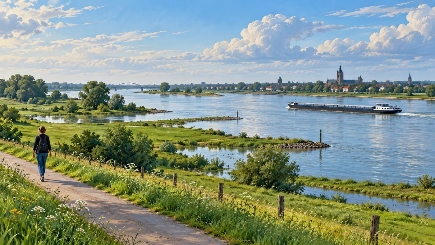
The same care applies to photographs used in articles. A generic river image can illustrate geography or the idea of a floodplain, but it cannot establish today's water level. An AI-generated scene must not be offered as evidence of an actual event. Readers should be able to distinguish an explanatory illustration from a dated documentary record.
Keep the Dutch terms beside your translation
Several labels are worth retaining when navigating the services: waterstand for water level, waterdiepte for water depth, verwachting for expectation or forecast, and scheepvaartberichten for shipping notices. Translating the surrounding explanation can help, but preserve station names, numerical signs and the original units exactly. If a translated page makes an operational instruction ambiguous, return to the original notice and seek clarification from the responsible service. A fluent translation should not turn uncertainty into permission. For a visitor, the most useful saved phrase may simply be the exact name of the place or service being checked.
Conclusion
Understanding the Waal begins with a few distinctions: the river's route, the meaning of a water-level reference, the difference between height and depth, and the purpose of each official information service. Apply those distinctions to the specific place and activity you are considering.
For a riverside visit, combine current local access information with an adaptable itinerary. For shipping, use the relevant professional information and notices. In either case, a number becomes useful when its location, time, units and scope remain attached to it.
Sources and research note
Researched October 28, 2026, using the linked Rijkswaterstaat and Zaltbommel municipal pages. No live river measurement, current closure or navigational clearance is asserted. Numerical and itinerary examples are original and fictional. Google Trends Netherlands, Past 24 hours, All categories and All trends, sorted by search volume, showed “waal” second at 20K+ and Active when retrieved at 10:40 UTC. The first query concerned a sensitive missing-person search and was unsuitable for this long-form treatment. The broad query's specific cause is unknown; this article covers the river without claiming to explain that cause. The original conceptual AI image is not a current river photograph or an accurate navigational map.